October 4, 2024-
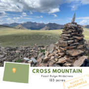
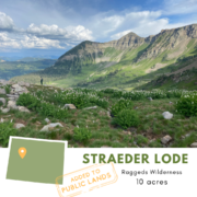
This week the Trust completed the transfer of our 183-acre Cross Mountain project in Colorado’s Fossil Ridge Wilderness to public ownership. The transfer comes on the heels of two other successful projects in Gunnison National Forest this year: the 10-acre Straeder Lode just outside the Raggeds Wilderness, and 10-acre Copper Glance Lode in the Maroon Bells-Snowmass Wilderness.
This most recent transfer will permanently protect the property, which straddles the wilderness boundary and has nearby road access leaving it vulnerable to development and uses incompatible with the surrounding wilderness.
“This acquisition protects wild and undeveloped viewsheds and consolidates private ownership within National Forest System lands, eliminating the need for special use authorizations. Acquisition of these parcels will help strengthen and preserve Congressionally Designated Wilderness Areas.”
– Dayle Funka, Gunnison District Ranger
The Trust’s process for protecting wild places like Cross Mountain has two phases: first we purchase the property from the private landowner, then we hold the property until it can transfer to public ownership. We typically aim to be acquiring and transferring roughly the same total value of projects each year to keep our Wilderness Opportunity Fund (WOF), which funds the majority of our acquisitions, at a healthy level.
Striking this balance isn’t always possible though. As our work gains momentum in new areas and sometimes decades-long relationships with landowners and partners grow, more and more acquisition opportunities are becoming available. This is, of course, something to celebrate. But each project moves at its own pace, with the time between the purchase and transfer of a property typically taking 2-4 years. In some regions we’ve seen this timeline stretching longer and longer as our agency partners do their best with limited capacity. When this happens, these factors can converge resulting in a backlog of transfers, meaning more of our WOF is tied up in projects than is available to take advantage of new conservation opportunities as they arise.
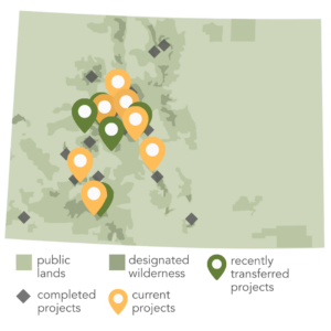
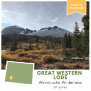
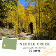
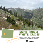
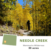
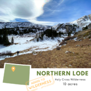
There are two meaningful solutions to this challenge: First, our lands staff and partners have been hard at work this year to clear this backlog of transfers, both to see projects completed and successfully protected, and to make more Wilderness Opportunity Funds available for new acquisitions. Cross Mountain is the fifth such project in Colorado transferred this year, marking significant progress toward this goal. Thanks to it, we already we have another five Colorado projects in development in the Holy Cross, Uncompahgre, and Weminuche Wilderness Areas and Red Cloud Wilderness Study Area.
The second way we are working to address this challenge is growing our Wilderness Opportunity Fund. You can join us in supporting the WOF with a revolving donation that will be reinvested in new acquisitions over and over, deepening the impact of your gift. Revolving funds can be named in honor or memory of an individual or foundation, and can be included in estate planning. Low or no interest loans can also be made to the WOF to acquire a specific property, multiple projects in a specific region or state, or as needed across our entire lands portfolio. Learn more about joining our Wilderness Opportunity Fund or contact info@wildernesslandtrust.org.
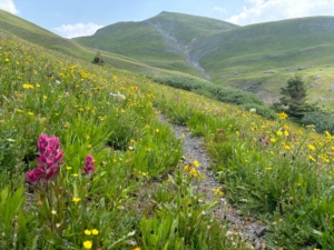


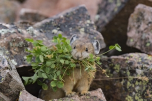 Throughout the property a series of scree slopes and grassy alpine meadows are home to high alpine inhabitants like the American pika. The potato-sized pika is found in the high country throughout the rockies, typically above 8,000 ft. You may have heard their loud squeaking “EEEP” calls or seen them dashing through the talus with mouth full of grasses. In order to make it through the harsh alpine winter without hibernating, the pika will spend all summer stockpiling grass under rocks to dry, creating ‘haypiles’. It’s not uncommon for a single pika to make 25 foraging trips an hour between the talus and meadows through the summer!